
Like us on Facebook
PLACE NAMES


|
| Wigston
|  |
|
|
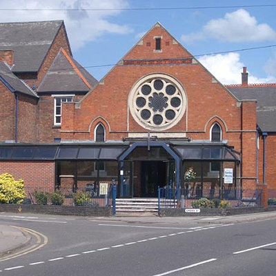
Wigston is five miles south of Leicester, at the centre of Leicestershire and the East Midlands. Oadby is to the east, connected by the B582 road. To the west along the B582, or Blaby Road is South Wigston.
The Grand Union Canal runs from Wistow, south of Wigston, to nearby Kilby Bridge, and for several miles through South Wigston, Glen Parva, Blaby and on towards Leicester.
Wigston's population of approximately 30,000 live in both the post-war private suburban housing estates surrounding the old town centre, and the 19th century buildings now sandwiched between modern housing developments. The oldest of the post-war developments is Wigston Fields north of Wigston towards Knighton and Leicester; the Meadows and Little Hill estates were developed in the 1970s and 1980s to the east and south of Wigston's old centre. Wigston Harcourt is an area of housing developed up until the early 1990s between the Little Hill and Meadows estates. These three estates mark the boundary of the greater Leicester urban area, beyond which lies agricultural land.
One of the earliest records of Wigston is in the Domesday book as Wichingstone in the ancient wapentake of Guthlaxton, listed amongst the lands held by Hugh de Grandmesnil for the King.
In the Middle Ages it was known as Wigston Two Spires as, unusually, there were two mediaeval churches there, All Saints' and St Wistan's.
|
 Feel free to Email me any additions or corrections Feel free to Email me any additions or corrections
LINKS AVAILABLE TO YOUR SITE
| |

