|
Powburn is a small village on the A697 in Northumberland, England about 8 miles (13 km) south of Wooler and 10 miles (16 km) northwest of Alnwick. Nestled near to the foot of the Cheviot Hills, Powburn is a small rural community, often associated with its nearest neighbour Glanton. It is situated within the large parish of Whittingham, nine miles southeast of Wooler and just south of the borough of Berwick-upon-Tweed.
As the beginning of the 20th century approached, Powburn was described as a hamlet within the township of Glanton. Its nearest railway station was Hedgeley, one quarter mile away, on the Alnwick and Cornhill branch of the North Eastern railway. The village was portrayed in the 1950s as a 'lively little main-road village'. Today Powburn retains its peaceful location, near to the Cheviots and the Northumberland National Park; it is a popular area with walkers who come to enjoy the outstanding natural beauty of the district.
The Devil's Causeway passes through the village and continues north under the A697 road crossing the River Till. The causeway is a Roman road which starts at Port Gate on Hadrian's Wall, north of Corbridge, and extends 55 miles (89 km) northwards across Northumberland to the mouth of the River Tweed at Berwick-upon-Tweed.
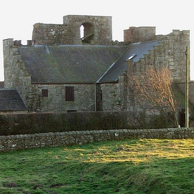
By the road side a stiff half-mile eastwards from Powburn is Crawley Tower, a fine Border pele constructed largely of material from the Roman camp one corner of which it occupies. The station has been a strong one (its defensive ditch is still imposing) and probably guarded the crossing, near Hedgeley Station, of the Breamish by the Devil's Causeway.
|