
Like us on Facebook
PLACE NAMES


|
|
Saaremaa
|
 |
| |
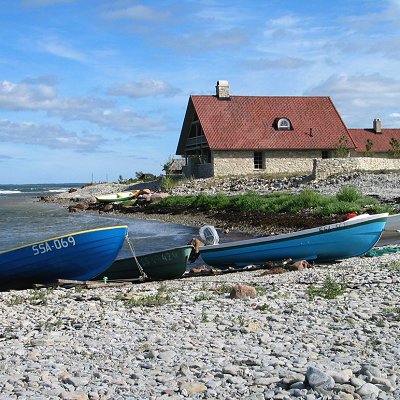
Saaremaa is the largest island in Estonia. The main island of Saare County, it is located in the Baltic Sea, south of Hiiumaa island and west of Muhu island, and belongs to the West Estonian Archipelago. The capital of the island is Kuressaare, which in January 2018 had 13,276 inhabitants. The whole island had a recorded population in January 2020 of 31,435.
The island forms the main barrier between the Gulf of Riga and the Baltic Sea. To the south of it is the main passage out of the gulf, the Irbe Strait, next to Sõrve Peninsula, the southernmost portion of the island. In medieval times islanders crossed the strait to form fishing villages on the Livonian coast, notably Pitrags. In those days it was easier and quicker to cross the strait towards nearby Kolka, Saunags or Mazirbe, than travel by horse large distances inland. The highest point on the island is 54 m above sea level. The Kaali crater is on the island. The island has much forested terrain. One of the symbols of the island is the juniper.
|
 Feel free to Email me any additions or corrections Feel free to Email me any additions or corrections
LINKS AVAILABLE TO YOUR SITE
| |
