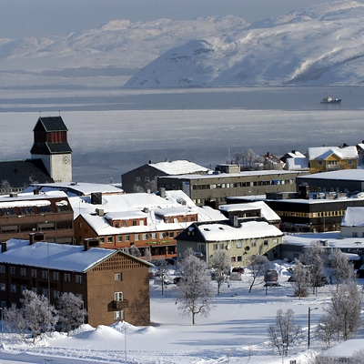
Kirkenes is located in the extreme northeastern part of Norway on the Bøkfjorden, a branch of the Varangerfjorden, which is a vast bay connected to the Barents Sea near the Russian-Norwegian border. The town is situated about 400 kilometres (250 mi) north of the Arctic Circle.
Unlike the vast majority of Norway, Kirkenes is located east of the neighbouring country of Finland. Because of this, travelling directly west from Kirkenes actually changes the time zone forward instead of backward, as it usually does. Travelling directly east from Kirkenes (into Russia) changes the time zone forward by two hours (three in winter) instead of one. It also shares time zones with Galicia in Spain, in spite of a solar time difference of 2½ hours.
One can drive 100 kilometres (62 mi) south, and walk 10 kilometres (6.2 mi), into the Øvre Pasvik National Park, reaching the border point of the three countries (Treriksrøysa), where the three time zones meet. There are only a few such places in the world. It is forbidden, according to both Norwegian and Russian law, to circumambulate the border marker, as the only lawful route across the Norwegian-Russian border is at the border control at Storskog.
|