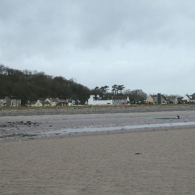
Sandhead is a small village on the eastern coast of The Rhins, Stoneykirk, Wigtownshire, Dumfries and Galloway, south west Scotland, located near RAF West Freugh.
It overlooks Luce Bay, 7 miles south of Stranraer. The old main road, named "Main Street", runs through the village, but the A716 now bypasses it with a narrow and twisting carriageway. The village developed as a strip village with a smithy and a school by 1850.
Sandhead Bay was used for landing lime and later coal.
The village school is situated above the village, and a little north of this is Balgreggan Motte which stands above the A716.
Balgreggan Motte was the first in a line of early castles along the eastern shore of The Rhins.
The castle was made of wood surrounded by as 12ft ditch, and was inevitably burned to the ground by marauding forces.
The symbol of Norman lordship was the motte-and-bailey castle, a feudal stronghold. The word "motte" (or mote) is Norman-French, originally meaning 'mound" or in this case "castle-mound". The word "moat" for the ditched defences of a castle is also derived from motte. The word "bailey" is derived from the Norman French word "baille" meaning an enclosed or wooden-fenced area.
The top of the motte was used by the Royal Observer Corps during the Second World War as a lookout point.