|
Corris lies on the west bank of the Afon (river) Dulas, which here forms the county boundary between the counties of Gwynedd (formerly Sir Meirionnydd/Merionethshire) and Powys (formerly Sir Drefaldwyn/Montgomeryshire), Powys being to the east of the river. The Afon Deri (shown on early maps as the Afon Corris) runs through the village before joining the Dulas. The ancient Roman road between northern and southern Roman Wales, Sarn Helen, probably ran through the village. The settlement now known as Corris was at one time known as Abercorris (spelt Abercorys on some early maps), when the old turnpike road from Dolgellau to Machynlleth ran through the village. The modern A487 trunk road was built by the quarry owners in the 1840s and bypasses the village.
On the bluff above the village, known as the Braich Goch, stands a memorial to Alfred Hughes, of Fronwen, near Garneddwen, who established a hospital in South Africa during the Boer War.
Further up the Deri valley is the village of Corris Uchaf (Upper Corris).
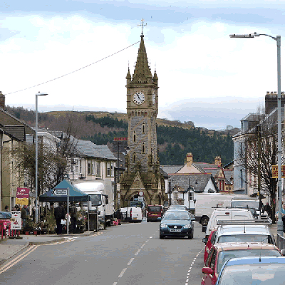
Corris is in the Welsh county of Gwynedd. Although the Snowdonia National Park covers much of the area around Corris, the village is not within the park. The extensive slate quarries that surround the village are its most prominent historical feature. However, The Place Names of Wales (published Newport, 1912) states : "We find the forms Corys and Corus in the Cambrian Register for 1795. Some think the place takes its name from a saint called Corus. It is also said that Cunedda Wedig had a son called Coras. Others think that the river which gives the place its name, was called Corus from its making round excavations in the angles of its banks."
The population of Corris community is over 600. Corris - derived from the English word "quarries"
|