
Like us on Facebook
PLACE NAMES


|
|
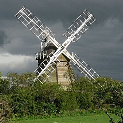
Fulbourn
|
| |
Fulbourn lies about five miles (8 km) south-east of the centre of Cambridge, separated from the outer city boundary by farmland and the grounds of Fulbourn Hospital.
The village itself is fairly compact and roughly in the centre of the administrative parish. North and East of the village the land is flat, drained fen; to the south and south-West the Gog Magog Hills rise to over 200 feet (61 m).
Outside the residential area the land is open farmland, with relatively few trees. There is a wooded area including a Nature Reserve (Fulbourn Fen) to the east in the Manor grounds. The village is set within the Cambridge Green Belt.
The traditional parish boundaries follow the line of a Roman road and the Icknield Way to the south-west and south-east, Fleam Dyke - an ancient defensive earthwork - to the East and the tributaries of Quy Water that drain to the River Cam. The parish extends some 5 miles (8 km) north to south and 4 miles (6 km) east to west.
|
 Feel free to Email me any additions or corrections Feel free to Email me any additions or corrections
LINKS AVAILABLE TO YOUR SITE
| |

