
Like us on Facebook
PLACE NAMES


|
|
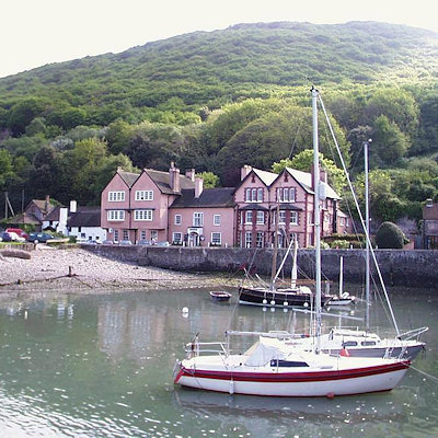
Porlock
|
 |
|
|
The village adjoins the Porlock Ridge and Saltmarsh nature reserve, created from the lowland behind a high shingle embankment which was breached by the sea in the 1990s, which has now been designated as a Site of Special Scientific Interest. Copses of white dead trees remind the visitor of when this was freshwater pasture.
A stream flows down a wooded combe called Hawkcombe leads about three miles (5 km) from the village up to high open moorland. The stream, called "Hawkcombe Waters", runs past a Victorian hunting lodge, called The Cleeve, then underground beneath the Overstream Hotel in the centre of the village.
The South West Coast Path goes through Porlock, many walkers stopping rather than continuing the long walk to Lynton. There is also a 'Coleridge Way' walk.
Culbone Church is said to be the smallest church in England. The main structure is 12th century. Services are still held there, despite the lack of road access - Culbone is a two-mile (3 km) walk from Porlock Weir, and some 3–4 miles (about 6 km) from Porlock itself.
A toll road bypasses the 1 in 4 gradient on Porlock Hill. There is the prehistoric Porlock Stone Circle on the hill.
At low tide the remains of a submerged forest can be seen on Porlock Beach. The area was several miles inland until the sea level in the Bristol Channel rose about 7000 to 8000 years ago.
|
 Feel free to Email me any additions or corrections Feel free to Email me any additions or corrections
LINKS AVAILABLE TO YOUR SITE
| |

