
Like us on Facebook
PLACE NAMES


|
|
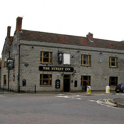
Street
|
 |
|
|
The River Brue marks the boundary with Glastonbury, to the north of Street. At the time of King Arthur, the Brue formed a lake just south of the hilly ground on which Glastonbury stands. This lake is one of the locations suggested by Arthurian legend as the home of the Lady of the Lake. Pomparles Bridge stood at the western end of this lake, guarding Glastonbury from the south, and it was here that Sir Bedivere is thought to have thrown the sword Excalibur into the waters after King Arthur fell at the Battle of Camlann. The old bridge was replaced by a reinforced concrete arch bridge in 1911.
Before the 13th century, the direct route to the sea at Highbridge was blocked by gravel banks and peat near Westhay. The course of the river partially encircled Glastonbury from the south, around the western side (through Beckery), and then north through the Panborough-Bleadney gap in the Wedmore-Wookey Hills, to join the River Axe just north of Bleadney. This route made it difficult for the officials of Glastonbury Abbey to transport produce from their outlying estates to the Abbey, and when the valley of the river Axe was in flood it backed up to flood Glastonbury itself. Sometime between 1230 and 1250, a new channel was constructed westwards into Meare Pool north of Meare, and further westwards to Mark Moor. The Brue Valley Living Landscape is a conservation project based on the Somerset Levels and Moors and managed by the Somerset Wildlife Trust.
The Walton and Ivythorn Hills biological Site of Special Scientific Interest south of the town lies at the end of the Polden Hills. This site is owned and managed by the National Trust. Walton and Ivythorn Hills support a complex mosaic of semi-natural habitats which includes unimproved calcareous grassland, dense and scattered scrub and broadleaved woodland. Structural diversity within the habitats, together with the extensive areas of sheltered wood-edge and scrub-edge margins provide ideal conditions for many species of invertebrate. Butterflies, leafhoppers, spiders and soldier flies are particularly well represented. The great green bush cricket (Tettigonia viridissima) is also of interest. It is adjacent to the East Polden Grasslands which has typical examples of species-rich, unimproved, calcareous grassland with scrub and amongst the many plant species found in this habitat is the early gentian (Gentianella anglica), which is endemic to Britain. Its other main interest lies in its suitability as a habitat for the large blue butterfly (Phengaris arion), which has been successfully reintroduced onto the site. There are two nationally scarce grasshopper species present; rufous grasshopper (Gomphocerippus rufus) and woodland grasshopper (Omocestus rufipes). Several nationally scarce species of moth, beetle, bee and ant also occur.
Street Heath is a nature reserve, managed by Somerset Wildlife Trust, and has outstanding examples of communities which were once common on the Somerset Levels. The vegetation consists of wet and dry heath, species-rich bog and carr woodland, with transitions between all these habitats. Rare ferns present include marsh fern (Thelypteris palustris) and royal fern (Osmunda regalis). Old peat workings and rhynes have a wetland community which includes bulrush (Typha latifolia), yellow flag iris (pseudacorus), cyperus-like sedge (Carex pseudocyperus) and lesser bur-reed (Sparganium natans). Insects recorded include 33 species of butterflies, 200 moths and 12 grasshoppers and crickets, with several notable rarities. Birds breeding in the carr woodland include the local willow tit.
Merriman Park is named after Nathaniel James Merriman. He was Curate then Vicar of Street, until he emigrated to South Africa. He rose to become Archdeacon of Grahamstown then Dean of Cape Town before being elevated the Episcopate.
The Society of Friends established itself here in the mid-17th century, and among the close-knit group of Quaker families were the Clarks: Cyrus started a business in sheepskin rugs, later joined by his brother James, who introduced the production of woollen slippers and, later, boots and shoes. Under James's son, William, the business flourished, but most of the profits were ploughed back into employee welfare, housing and education.
C&J Clark still has its headquarters in Street, behind a frontage which includes the clock tower and water tower, but shoes are no longer manufactured there. Instead, in 1993, redundant factory buildings were converted to form Clarks Village, the first purpose-built factory outlet in the United Kingdom. Despite strong concerns being voiced by local retailers at the time, the retail outlets have not led to a demise of the existing shops. The Shoe Museum provides information about the history of Clarks and footwear manufacture in general, and a selection of shop display showcards from the 1930s, 1950s and 1960s, and television advertisements.
The Clark family mansion and its estate at the edge of the village are now owned by Millfield School. The company, through the Society of Friends, also had its own small sanatorium and convalescent home on Ivythorn Hill overlooking the town. In 1931, this chalet style building was leased to the Youth Hostel Association and became the first youth hostel in Somerset. It is still used for this purpose.
|
 Feel free to Email me any additions or corrections Feel free to Email me any additions or corrections
LINKS AVAILABLE TO YOUR SITE
| |

