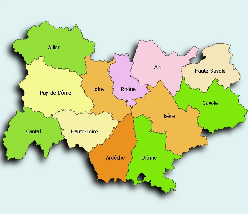
Rhône-Alpes is located in the east of France. To the north are the French regions of Bourgogne (Burgundy) and Franche-Comté, to the west it borders the region Auvergne, to the south it borders Languedoc-Roussillon and Provence-Alpes-Côte d'Azur. The east of the region contains the western part of the Alps and borders Switzerland and Italy. The highest peak is Mont Blanc. The central part of the region is taken up with the valley of the Rhône and the Saône. The confluence of these two rivers is at Lyon. The western part of the region contains the start of the Massif Central mountain range. The region also borders or contains major lakes such as Lake Geneva (Lac Léman) and Lake Annecy. The Ardèche is home to the deepest gorge in Europe.
As with the rest of France, French is the only official language of the region. 50 years ago, Franco-Provençal was widely spoken in the whole region. Many of the inhabitants of the south spoke varieties of Occitan although it is in steep decline in this region. There were relatively large immigrant populations from Poland, Italy, Portugal and North Africa, amongst other places.
Although there have been people in Rhône-Alpes since pre-historic times, the earliest recorded settlers of the region were the Gauls. Cities such as Lyon were founded by them and the region traded with both northern and southern Europe. Most of the area became part of Roman territory during the invasion of Gaul led by Julius Caesar and was at various times part of the regions of Lugdunensis and Gallia. Lyon itself became a major Roman city.
The region, excepting Savoy, was part of the Merovingian and Carolingian Kingdoms before becoming a royal territory under the Capetians. As it became a royal territory early on in French history, its history has not differed much from France since.
The Rhône-Alpes region has a huge diversity of landscapes due to its climactic and topographic variation.
The topography of the Rhône-Alpes region consists of two areas of high elevation divided by the Rhône Valley, which runs north-south. The western mountains are part of the Massif Central. It is an area of high hills and plateaus, mostly made of old, acidic metamorphic rock. East of the Rhône Valley plains are the Alps. these tall, young mountains are themselves very diverse and should be divided into at least two groups. A central part of the region is occupied by a north-south line of well-defined mountainous massifs: from north to south, Bornes, Beauges, Chartreuse, Vercors, Baronies. These mountains are mainly made of limestone and are becoming a karst landscape. Another, less prominent valley divides this central area from the eastern part of the region, the Alps proper, which contains some of Europe's highest mountains, such as Mont Blanc. These mountains are made of acidic rocks such as granite.
The diverse climate of the Rhône-Alpes region is due to a blending of four weather influences: Mediterranean to the south, Alpine to the east, Continental to the north, and Atlantic to the west.