
Like us on Facebook
PLACE NAMES


|
|
Les Ulis
|
|
|
Les Ulis is a commune in the Essonne department located in the southwestern suburbs (banlieue) of Paris, France. It is 23 km (14 mi) from the centre of Paris.
Inhabitants of Les Ulis are known as Ulissiens.
The town is laid out in the form of a U, approximately three kilometres by two kilometres, and covers 680 hectares. Over 65% of the area is built-up, 17% is semi-rural and 16% is either rural or comprises communal green space.
The source of the minor river Rouillon (river) is in the neighbouring town of Villejust, close to the communal border. The lowest point of the town, at the point where it meets Bures-sur-Yvette, is at an altitude of 87m. Most of the town is situated at an average altitude of over 150m. Its highest point is at 170m. The land on which it is built consists of clay, sand and millstone.
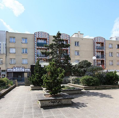
The town is divided into distinct neighbourhoods by the main roads running through it. To the east is a large industrial zone. To the west is the residential area, a large part of which consists of 33 HLM tower blocks, grouped into four neighbourhoods.
The town was conceived and built in the 1970s according to the precepts of Le Corbusier by architects Robert Camelot, François Prieur and Georges-Henri Pingusson. Its tower blocks are raised on slabs so that they are accessed above street level by means of pedestrian walkways. The town incorporates a large urban park, to the north.
 Feel free to Email me any additions or corrections Feel free to Email me any additions or corrections
LINKS AVAILABLE TO YOUR SITE
| | |
