
Like us on Facebook
PLACE NAMES


|
|
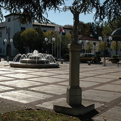
Anglet
|
| |
Anglet commune is part of the urban area of Bayonne located south-west of the city and part of the Basque province of Labourd. The commune is 10% covered with pine forests, including those of Pignada, Lazaretto, and Chiberta. The sandy coast starts 200 km north at the Pointe de Grave on the shore of the estuary of the Gironde and ends in Anglet. It is punctuated by numerous seawalls cutting the shore. At Anglet the outline of the public maritime domain has been updated and a coastal reserve forty metres wide has been observed since 1978. With its many bays and inlets this area is a laboratory for monitoring techniques for studying coastal erosion.
The Anglet coast is about 4.5 km long and has 11 beaches from north to south:
- Beach of la Barre;
- Beach of Cavaliers;
- Beach of Dunes;
- Beach of the Ocean;
- Beach of Madrague;
- Beach of Little Madrague;
- Beach of Corsaires;
- Beach of Marinella;
- Beach of Sables d'or;
- Beach of Club;
- Beach of VVF (Village Vacances Famille).
The French Basque Coast designates the part of the Aquitaine coast between the Chambre d'Amour cave at Anglet and the Spanish border.
Anglet has an airport Aéroport de Biarritz-Anglet-Bayonne some 2 kilometres south of the town accessible from the D810 road. It has flights to destinations across France as well as Europe.
 Feel free to Email me any additions or corrections Feel free to Email me any additions or corrections
LINKS AVAILABLE TO YOUR SITE
| | |

