
Like us on Facebook
PLACE NAMES


|
|
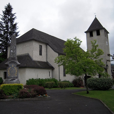
Arette
|
| |
Arrete is located some 15 km south by south-west of Oloron-Sainte-Marie and some 4 km south-east of Aramits. It lies close to both the French Basque region and borders Spain in the south. It is within the borders of Béarn, one of the traditional French provinces.
Access to the commune is by French rail SNCF to Pau, and a short bus ride to Arrete. Less scenic is the automobile route: D918 road from Lanne-en-Barétous in the north-west coming south-east to the village then continuing east to Issor. The D132 goes south from the village down the length of the commune following a tortuous mountain route before exiting the southern border of the commune over the Col de la Pierre St Martin (1,760m), which is also the border with Spain, and becoming the Spanish NA-137 which continues to Isaba. The D341 also goes south-east from the village then south, connecting with the D241 at the Col de Labays (1,351m) going east to join the E7 highway south of Sarrance, then continuing along the south-western border to join the D441 south of the commune. The D133 also goes north from the village to Aramits.
Arette is also mountainous (the La Pierre Saint-Martin ski resort is within its borders, for example) and its highest peak is the 2,315 m Soum Couy, which is situated not far from the 2,504 m Pic d'Anie, the highest peak in the western Pyrenees. From Pic d'Anie the mountain range extends downwards for approximately 20 km, forming both sides of the Aspe valley to the north-west. The Vert d'Arette (a tributary of the Vert) flows through this valley. The ancient village (also named Arette) from which the commune extends is located at an altitude of 316 m in the valley of Barétous, which lies between the aforementioned Aspe valley, to its east, and the Basque province of Soule, to its west.
 Feel free to Email me any additions or corrections Feel free to Email me any additions or corrections
LINKS AVAILABLE TO YOUR SITE
| | |

