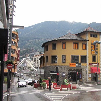
Andorra La Vella (Old Andorra) has always been a strategic place in the crossings from France into Spain. There is but one road which is guaranteed to be open pretty much all the year round and the capital city is on that road.
The old town was built on the north bank of Andorra's main river - El Valira - which runs southward into the Segre and thus to the Mediterranean a few kilometres south of Tarragona. Due to its location, it controlled all the trade of the area. Coming north from Spain, it was impossible to avoid the city due to the steep Pyrenees on either side of the Valira.
At Andorra La Vella, the river (facing upstream) forked. The main valley road continued north-east up and over into France towards the southern capital of Toulouse. A second valley forked north and is appropriately named Val Nord. At the head of this valley, there are old smugglers' trails into both France and Spain, but not to be attempted in any normal road vehicle in summer and not by any kind of vehicle at all in winter. Only the main carretera is kept snow-free by plough.
Over time, the city spilled over onto the south bank which was part of the parish of Les Escaldes (the springs). As the communities grew and intermingled, a demarcation was eventually made to split off this section from neighbouring Escaldes-Engordany. The river is the border of both communities.