Like us on Facebook
PLACE NAMES


|
|
Sidcup
|

|
|
|
Sidcup originated as a tiny hamlet on the road from London to Maidstone. According to Edward Hasted, "Thomas de Sedcopp was owner of this estate in the 35th year of king Henry VI. [i.e. in the 1450s] as appears by his deed." Hasted described Sidcup in the latter part of the 18th century as "a small street of houses, among which is an inn of much resort", referring to the former Black Horse pub on the high street.
Sidcup parish formed the Sidcup Urban District of Kent from 1908. It was initially known as Foots Cray; however, in 1921 the urban district, and in 1925 the parish, were renamed Sidcup. The parish and district were abolished in 1934 and combined with Chislehurst to form the Chislehurst and Sidcup civil parish and urban district. In 1965 the parish and urban district were abolished. Sidcup went on to form part of the London Borough of Bexley in Greater London and Chislehurst formed part of the London Borough of Bromley.
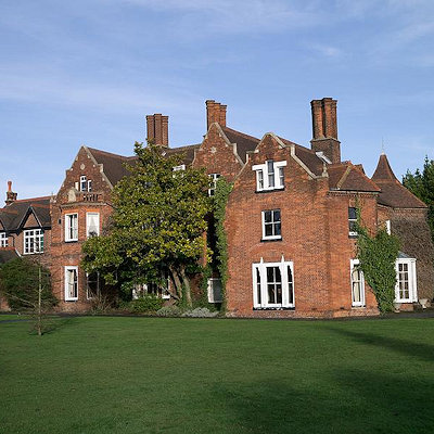
Sidcup has a mixture of large Victorian and Edwardian properties alongside typical 1930s suburbia. It retains many parks and open spaces hinting at the great estates and large homes which once stood in the area.
The town contains Queen Mary's Hospital, a large Leisure Centre, four colleges and three secondary schools. Sidcup High Street is the local High Street, while there are some shops and local businesses on the adjacent Station Road. Sidcup High Street was recently the subject of a regeneration scheme In Store For Sidcup paid for by London Borough of Bexley.
Most of the district is within the London Borough of Bexley, however several parts in the North are under the governance of the Royal Borough of Greenwich, including Southspring, Greenhithe Close, Halfway Street (offsite Avery Hill), Radfield Way, Croyde Close and Overmead.
|
 Feel free to Email me any additions or corrections Feel free to Email me any additions or corrections
LINKS AVAILABLE TO YOUR SITE
| |


