
Like us on Facebook
PLACE NAMES


|
|
Cricklade
|
 |
|
|
Cricklade was founded in the 9th century by the Anglo-Saxons, at the point where the Roman road Ermin Way crossed the River Thames. It was the home of a royal mint from 979 to 1100; there are some Cricklade coins in the town museum. The Domesday book records Cricklade as the meeting place of Cricklade hundred in 1086.
It is one of thirty burhs (fortresses or fortified towns) recorded in the Burghal Hidage document, which describes a system of fortresses and fortified towns built around Wessex by King Alfred. Recent research has suggested that these burhs were built in the short period 878-79 both to defend Wessex against the Vikings under Guthrum, and to act as an offensive to the Viking presence in Mercia. It is argued that the completion of this system, of which Cricklade - situated only a little way down Ermin Street from Cirencester, the Viking base for a year - was a key element, precipitated the retreat of the Vikings from Mercia and London to East Anglia, according to the Anglo-Saxon Chronicle in late 879.
The square defences of the fortification were laid out on a regular module. They have been excavated in several places on all four of its sides by a number of archaeologists since the 1940s, making this is possibly the most extensively sampled fortification of the period. In the initial phase, a walkway of laid stones marked the rear of a bank of stacked turfs and clay, which had been derived from the three external ditches.
In the second phase, the front of the bank, which after probably only a short period of time had become somewhat degraded, was replaced by a stone wall. This encircled the defences on all four of its sides. The manpower needed to build this was probably roughly the same as was needed to build the original turf and clay defences. This wall, which would have considerably strengthened the defensive capabilities of the burh, has recently been suggested as having been inserted in the 890s. That other burhs of the Burghal Hidage were also strengthened with stone walls suggests that this was part of a systematic upgrade of the original defensive provision for Wessex which was ordered at this time by the king.
The third phase is marked by the systematic razing of the stone wall, which was pulled down over the inner berm (the space between the wall and the inner ditch). Stones from the wall were used to fill the inner two ditches, which demonstrates that this process was deliberate. A similar phase can be observed in the archaeological record at Christchurch, Dorset, another burh of the Burghal Hidage. Similar observations at other burhs suggests that this phase of destruction of the defences was implemented over the whole of Wessex, and must therefore have been the result of a concerted policy, again by inference on the part of the king. The most reasonable historical context for this seems to be accession of King Cnut in the early 11th century, to prevent the burhs being seized and used against him by his rivals.
The fourth phase is marked by the reuse of the original Anglo Saxon defences by the insertion of a timber palisade along the line of the original wall. This probably marks a phase of the re-defence of the town during the civil war of 1144 under King Stephen.
There is little archaeological evidence for the community who were protected by these defences in the Saxon period. There is some indication that streets were laid out in a regular fashion behind the main north–south High Street. This led through a gate in the northern line of the defences to a causeway over the floodplain of the Thames to a bridge over the river, which was probably of a defensive nature.
On John Speed's map of Wiltshire (1611), the town's name is recorded as Crekelade.
Cricklade Museum houses several publications recounting further historical details of the town and its people.
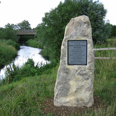
The Thames Path runs through Cricklade. It heads downstream on the south bank to Eysey Footbridge, where it crosses to the other bank.
|
 Feel free to Email me any additions or corrections Feel free to Email me any additions or corrections
LINKS AVAILABLE TO YOUR SITE
| |

