
Like us on Facebook
PLACE NAMES


|
|
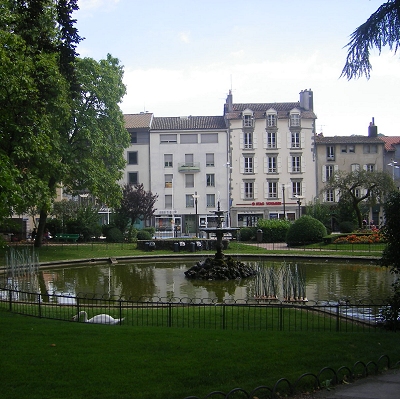
Aurillac
|
| |
Aurillac is at 600 metres above sea level and located at the foot of the Cantal mountains in a small Sedimentary basin. The city is built on the banks of the Jordanne, a tributary of the Cère. It is 558 km (347 mi) south of Paris and 223 km (139 mi) north of Toulouse. Aurillac was part of a former Auvergne province called Haute-Auvergne and is only 20 km (12 mi) away from the heart of the Auvergne Volcano Park.
Access to the commune is by numerous roads including the D922 from Naucelles in the north, the D17 from Saint-Simon in the north-east, Route nationale N122 from Polminhac in the east which continues to Sansac-de-Marmiesse in the south-west, the D920 to Arpajon-sur-Cère in the south-east, and the D18 to Ytrac in the west. The Figeac-Arvant railway passes through the commune with a station in the centre of town but there is no TGV service. About 50% of the commune is urbanised with farmland to the east and west of the urban area.
Aurillac - Tronquières Airport is located in the south of the commune with its runway extending beyond the commune boundary. It is connected to Paris by two daily flights by the Air France subsidiary HOP!.
The Jordanne river flows through the heart of the commune from north to south where it joins the Cère just south of the commune.
 Feel free to Email me any additions or corrections Feel free to Email me any additions or corrections
LINKS AVAILABLE TO YOUR SITE
| | |

