|
San Bartolomé de Tirajana is a village and a Spanish municipality in the south-eastern part of the island of Gran Canaria in the Las Palmas province in the Canary Islands. San Bartolomé de Tirajana is the largest municipality in area on the island as well as the Canary Islands. The population is 56,698 (2013).
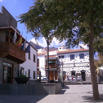
The municipality contains the large beach resorts of Maspalomas, including Playa del Inglés and San Agustín, and the Pilancones natural park. The municipal capital, the village of San Bartolomé de Tirajana is situated in the mountains, 17 km (11 mi) from the coast and 27 km (17 mi) south-west of Las Palmas, at about 900 m (2,953 ft) elevation. Most of the population lives along the Atlantic coastline. The GC-1 motorway passes through the southern part of the municipality, and connects it with Las Palmas de Gran Canaria and the Gran Canaria Airport.
The centre of the coast of the municipality is characterised by its long and wide golden sand beaches, as well as the dune field of Maspalomas and its brackish water pool. The northern end of the coast is, on the contrary, rocky, and the southern end is cliff.
Above the coast there is a wide, fully developed coastal plain, which gradually rises up and, furrowed by deep ravines, heads towards the mountains in the centre of the island.
Evolution of urban land, according to the Cadastre (2010 data): urban land in 2006: 1586 hectares; urban land in 2007: 1612 hectares; urban land in 2008: 1635 hectares; urban land in 2009: 1649 hectares; urban land in 2010: 1657 hectares, representing 5.2% of the total land of the municipality.
|