| Old Courthouse - +353 94-9546542

|
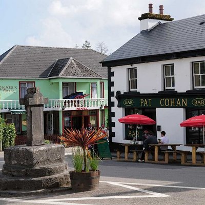
Cong is situated on an island formed by a number of streams that surround it on all sides. Cong is located on the isthmus connecting Loughs Corrib and Mask, near the towns of Headford and Ballinrobe and the villages of Clonbur, the Neale and Cross.
Cong is known for its underground streams that connect Lough Corrib with Lough Mask to the north.
Cong is the home of Ashford Castle, a luxury hotel, which was converted from a Victorian faux lakeside castle, built by the Guinness family. Ashford Castle is a tourist attraction in its own right. Cong also features a ruined medieval abbey, Cong Abbey, where Rory O'Connor, the last High King of Ireland, spent his last years. It also is the origin of a piece of Celtic art in the form of a metal cross shrine called the Cross of Cong. The 'Cross of Cong' is now held in the National Museum of Ireland, Dublin. There is a High Cross in the village.
The Cong Canal, built over five years by the Commissioners of Public Works between 1848 and 1854 as a combined scheme to provide navigation, drainage and mill-power. In 1854 the Commissioners abandoned the navigation aspect of the scheme and instructed Samuel Roberts, their engineer, "to suspend the execution of all navigation works in this division of the district, and complete only such as were necessary for the regulation of the waters of Lough Mask, for drainage purposes." Now it is commonly known as the "Dry Canal"; the water level can vary between zero inches and 12 feet depending on the time of year (summer dry, winter full) and is three miles in length. Built heritage features of the canal remain.
More here.
|