|
Breil/Brigels has an area, as of 2006, of 50.8 sq kms (19.6 sq mi). Of this area, 35.2% is used for agricultural purposes, while 23.5% is forested. Of the rest of the land, 2.4% is settled (buildings or roads) and the remainder (38.9%) is non-productive (rivers, glaciers or mountains).
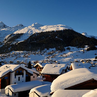
The municipality is located in the Disentis sub-district of the Surselva district. It consists of the village of Breil/Brigels on a terrace north of the Vorderrhein valley and the hamlets of Dardin-Capeder (Dardin) below the village and Danis-Tavanasa (Danis, Tavanasa) on the valley floor. Until 1943 Breil/Brigels was known as Brigels.
|