|
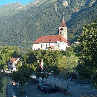
The municipality of Brienz includes a number of communities along the upper end of Lake Brienz, and stretches into the neighboring mountains. It includes the village of Brienz on the right shore, the mouth of the Aare and the village of Kienholz to the north and the settlements of Engi and Schwendi on the left bank. Heading away from the right shore the land rises to the Rotschalp, Planalp and Giebelegg before reaching the Brienzer Rothorn (2,351 m (7,713 ft)). Heading away from the left shore it rises over the Brienzerberg and Giessbach Falls, Tschingelfeld, Hinterburg and Axalp until it reaches the Schwarzhorn (2,928 m (9,606 ft)).
The parish of Brienz includes Oberried am Brienzersee, Schwanden bei Brienz, Hofstetten bei Brienz and Brienzwiler.
Of the built up area, housing and buildings made up 2.2% and transportation infrastructure made up 1.6%. Out of the forested land, 29.9% of the total land area is heavily forested and 2.7% is covered with orchards or small clusters of trees. Of the agricultural land, 7.2% is pastures and 30.5% is used for alpine pastures. Of the water in the municipality, 0.3% is in lakes and 0.8% is in rivers and streams. Of the unproductive areas, 8.6% is unproductive vegetation and 13.3% is too rocky for vegetation.
On 31 December 2009 Amtsbezirk Interlaken, the municipality's former district, was dissolved. On the following day, 1 January 2010, it joined the newly created Verwaltungskreis Interlaken-Oberhasli.
Points of interests
- During World War I a lake promenade was built along the village and the lake shore. It is highlighted by flower beds, tree plantings, and offers views unencumbered by traffic.
- Ride the Brienz Rothorn Bahn, a steam train up the Brienzer Rothorn.
- The Ballenberg open-air museum of nearly 100 original century-old buildings from all over Switzerland.
- wood carvings.
- Giessbach Falls with the Giessbachbahn funicular, the oldest funicular in Europe.
|